Distance traveled: 599.8 km
Cumulative distance: 5,414.6 km
Maximum speed: 125 kph
Moving average: 81 kph
Temperature range: 9.6 – 29.4
With yesterday’s debacle behind me, all I could think about
was getting out of the motel room. When I dropped off my key, I commented to
the desk person that she should tell housekeeping they need to vacuum the room
and mop the bathroom. All she could say is “ok, ok” like she wasn’t surprised.
That place was a dump.
I was on the road by 8:00 a.m. with no real plan. I started
riding down the highway in the direction I had been going when I arrived the
prior day however, after not too long, I saw a road sign that said Scenic Route
138 West. Whaaaat? NOT ENOUGH OCD! Maybe I should have planned that a little
better, since I wanted to go north, so I turned the bike around and set a
course for Hwy 97, the nearest highway running north-south, which was 48 km
away.
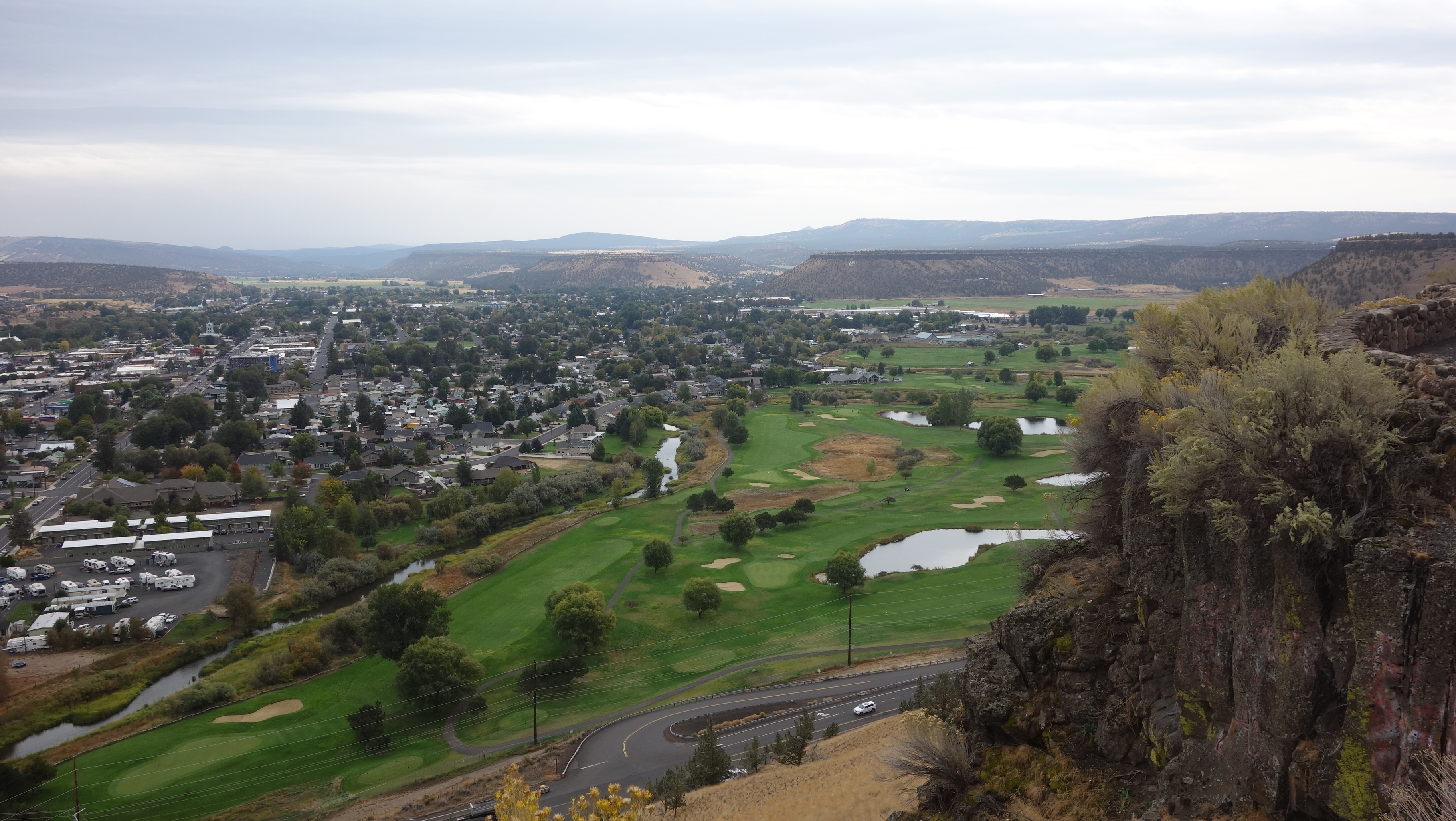
Down here, 97 is nothing special. It is just a big, highway
with 4 lanes and a divider between the northbound lanes and the southbound
lanes. I certainly didn’t want to be riding that. But after going by Crater
Lake, I was way off my supposed intended route so I needed to make a decision
about where I was going to head for the day. The only good thing is that it has
sentimental value to it since it would conceivably take me directly home. But
boring.
After about an hour of riding north on 97, I finally found a place that made lattes but

unfortunately, it was a drive-through espresso kiosk. Even thought I was warming up at that point, my feet were cold so I was disappointed not to be sitting indoors somewhere, using their Wi-Fi to upload yesterday’s report. Nonetheless, sitting on the curb outside the drive-through, I was able to establish a course of action. I would ride to the town of John Day in central Oregon, then turn north, in the direction of Spokane.


some very beautiful badlands, reminiscent of southern Alberta. Valleys were carved out of the sedimentary basin revealing layers upon layers of what was former sea floor. I hadn’t bothered to mount the GoPro camera on my helmet because, frankly, I am pretty underwhelmed by the pictures it takes. However, I rode through one rocky valley and I regretted not having the camera ready to go so I turned onto another highway in order to get it set up with a view to going back and then riding it again, filming the ride. Hopefully, before this trip is concluded I’ll have enough bandwidth to get it uploaded.


I filled up with gas at John Day. I finally managed to break 500 km on one tank of gas. I still had lots more in reserve so I could probably have gone 50-100 km more. While there, I spent a few minutes on Google Maps looking for a campground along Hwy 395. I did identify several, though I underestimated the distance to the first, which turned out to be about 90 km. That is how I ended up with such a big day in mileage. In fact, as I was riding to the campground, there was no sign on the highway to indicate that there were two campgrounds off the highway, the first about 3 km of gravel in and the second probably another 10. Even though I had no cell service, Google Maps still showed my position on the map that I had used to see the route and I saw that I had to turn back to an intersection I had just passed a couple of km back. I only need to get to the first one and when I pulled into it, I was happy to see a single person camping in her car and some good ol’ boys at the far end of the campground with a motorhome and a couple of jeep-style 4x4s. My first thought was “Dueling Banjos.” However, a few of them have said ‘hello’ to me as they have gone by but they seem remarkably well behaved given the circumstances. I did visit with the gal when I had picked a spot and despite the fact that she was quite chatty, she clearly didn’t want any company. As I had gone by her campsite, I had


some challenge navigating the mud holes in front of her spot, which must have been from a good rain last night, which would not surprise me since it rained a fair amount on me yesterday. I said to her that I half expected to dump the bike in front of her but for a change, that didn’t happen.
As I had been riding towards the campground, I was
anticipating a nice, cooked dinner of backpacker’s food however, I saw that
unlike other state campgrounds, there were no bear bins. This gave me some
discomfort because panniers don’t stop bears, as we learned once. So I
abandoned the idea of cooking any food. But one of the good ol’ boys walked by
me – he was out bow hunting for deer (he didn’t have an elk tag) and he told me
the only sign of bears he had seen around there was some old, dried bear scat
so he didn’t seem at all concerned. I relaxed, but still didn’t cook anything,
relying on the snacks I had with me.


Ok sweetie. I think it's time to come home! There's some blue jobs waiting for you!!
ReplyDelete